SaltGIS (Software for Advanced Location Technologies in Geographic Information Systems) develops innovative GIS software that transforms complex spatial data into clear, actionable intelligence. Founded in 2025, our mission is to equip organizations with smarter, faster, and more precise tools for land, infrastructure, and resource management. From precision mapping and spatial analysis to automation and decision dashboards, we build solutions that bridge geospatial data with real-world outcomes.
Precision mapping & spatial analysis
Remote sensing (Sentinel/UAV) & NDVI insights
Land parcel & asset management workflows
Automated ETL, QA, and spatial data pipelines
OGC standards (WMS, WFS, WFS-T) & interoperability
Dashboards & decision-support systems
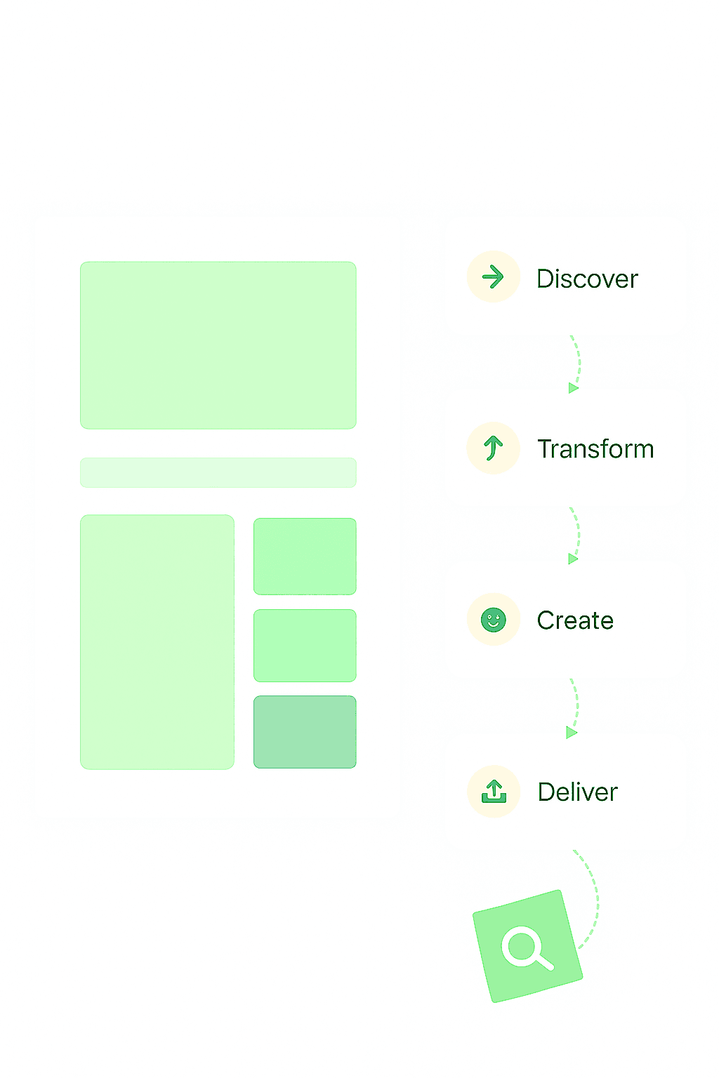

SaltGIS builds modern GIS applications that turn complex location data into decisions. From parcel mapping and field operations to analytics and automation, we help organizations manage land, infrastructure, and resources with accuracy and speed.
High‑accuracy tools for editing, measuring, and validating spatial data. Clean cartography, topology‑safe edits, and configurable layers ensure your maps are reliable and field‑ready.
Convert raw geospatial inputs into clear intelligence for agriculture, urban planning, and environmental monitoring. Dashboards, alerts, and exports keep teams aligned and decisive.
SaltGIS speaks the language of geospatial: OGC APIs and services (WMS, WMTS, WFS‑T), GeoJSON and vector tiles, PostGIS and cloud data lakes. Import from common formats (CSV, SHP, GPKG, Parquet) and connect to Esri/Mapbox/QGIS workflows without friction.
SaltGIS is a brand of SaltSpatial OÜ, registered in Estonia.
